Politics & Government
Township and FEMA to Meet, Discuss Flood Maps
Flood map elevations are flawed, township has said, delaying rebuilding


After complaints by residents and township officials alike, Toms River and Federal Emergency Management Agency representatives will meet to discuss the disputed flood elevation maps.
Mayor Thomas Kelaher made the announcement that, with the help of Gov. Chris Christie's office, the federal agency agreed to a Wednesday morning meeting. Township officials have wanted to meet with FEMA about what they said are flaws in the maps since being released in mid-December.
"The maps really created more questions than they did answers," Kelaher said during the Township Council meeting Tuesday night.
Find out what's happening in Toms Riverwith free, real-time updates from Patch.
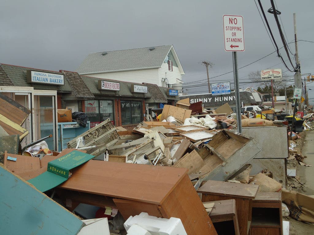
Township offices have been "deluged" with calls and emails from residents seeking answers following the release of the maps following the destruction of Hurricane Sandy. Others have come before the council to appeal for help.
"Hopefully we can get some kind of direction," the mayor said. "It is frustrating. People ask me, 'what can we do?' and we really don't have an appropriate answer for them."
Find out what's happening in Toms Riverwith free, real-time updates from Patch.
Following the current map guidelines could wind up costing homeowners money if they rebuild and revisions are made to the finalized maps released in August. Toms River Township Engineer Robert Chankalian said in a December letter to FEMA that the maps "appear to be overly conservative."
Chankalian said that Sandy was an "anomaly" and the base flood elevations, which are the standards used to build or significantly renovate homes, should be set lower than the October storm's high-water mark. These maps have a bearing on flood insurance rates.
However, the advisory base flood elevations (ABFE) are three feet higher than Sandy's high water mark in some areas, Chankalian said in the letter, which was posted on Toms River Township's Website.
The proposed map expands "V" zones where homes are more likely to be damaged by waves, while some portions of Ortley Beach that were damaged by waves during Sandy were placed in the lower risk "A" zone region, Chankalian said.
"It is hard to explain why inland lagoon areas are in high elevation and wave 'V' zones, and the barrier island is set at a lesser 'AE' standard. Further, people are already questioning, if my house made it through Sandy, why is the new ABFE more stringent?" Chankalian said in the letter. "I think it goes without saying that we need to be as accurate as possible since the financial impact to the residents in terms of flood insurance costs, resale value and reconstruction/construction costs are significant."
Kelaher and Business Administrator Paul Shives met with officials from the governor's office on Tuesday to ask for help. That meeting came about after the mayor appealed to Christie's office.
"Out of some level of frustration, I wrote a letter to Gov. Christie explaining what was going on," Kelaher said. "I asked if they could do something to help us out. It has absolutely created turmoil here."
Shives said that any information that comes out of the meeting will be shared with the public through the township website.
"We're really at a standstill. Let's hope we have some good luck [Wednesday]," Kelaher said.
Get more local news delivered straight to your inbox. Sign up for free Patch newsletters and alerts.